On the afternoon of December 4, the first Natural Resources and Ecological Civilization Forum held a themed forum on "Ecological Civilization·Land and Space Blueprint for Sustainable Development". The theme forum includes two stages: "keynote report" and "local practice discussion". Focusing on the modernization goal of harmonious coexistence of man and nature, the guests at the meeting focused on the implementation of the main functional area strategy, deepening the "multi-plan integration" reform, scientific planning of the land space development and protection pattern, improving the land space use control system, and forming a land space layout and support system for high-quality development. In the second phase of the exchange and speech session, participating experts made on-site comments and discussions on the practical experiences shared in Shanghai, Zhejiang, Shenzhen, Guangdong, and Nanjing, Jiangsu.
Planning leads to a more orderly spatial layout of the land
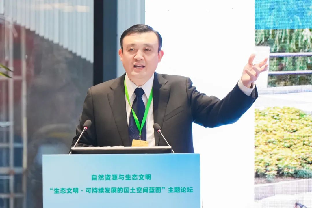
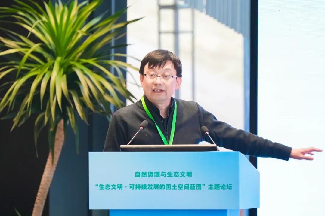
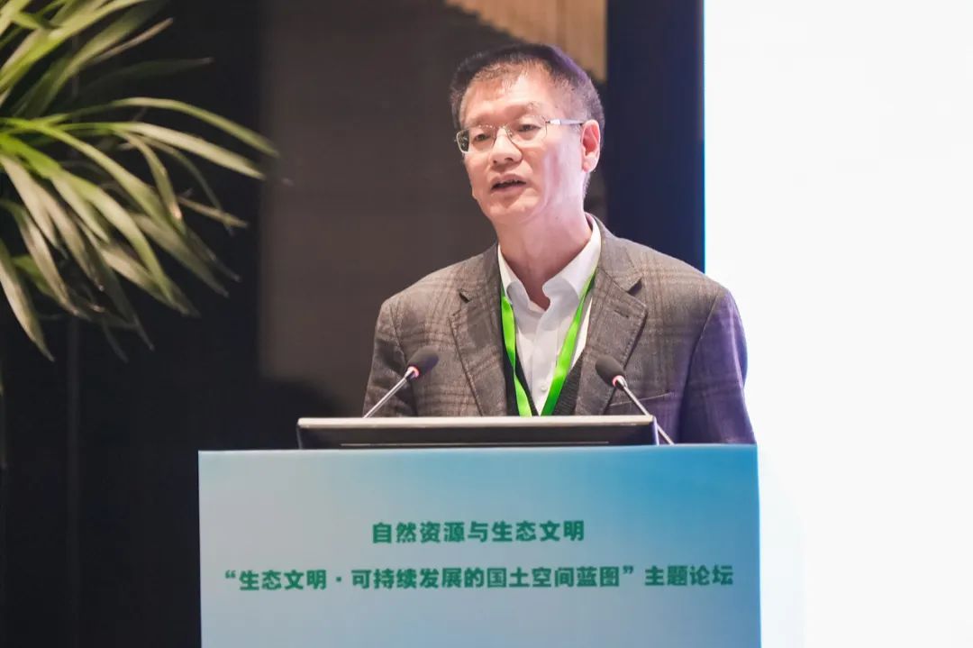
Zhang Bing
Director, Bureau of Land and Spatial Planning, Ministry of Natural Resources
The Party Central Committee and the State Council attach great importance to land and spatial planning. General Secretary Xi Jinping pointed out, "Territory is the spatial carrier of ecological civilization construction. To make overall plans and do a good job in top-level design, we must first design the land spatial development pattern." In 2018, the Party Central Committee and the State Council made a "multi-plan integration" reform plan, integrating the main functional area planning, land use planning, urban and rural planning, marine functional zoning and other responsibilities that were originally divided into different departments into the Ministry of Natural Resources, which is responsible for establishing the land spatial planning system and supervising its implementation.
After five years of unremitting efforts, the top-level design of the territorial spatial planning system has been successfully completed. The first "multiple plans integrated into one" national land and space plan "National Land and Space Planning Outline (2021-2035)" was issued and implemented, the "three districts and three lines" results were delineated to a high standard, and the "five-level and three-category" land and space planning made important progress; the "one map" of the national land and space planning that connects up and down is basically After completion, the construction of the land and space legal and institutional system and the construction of the technical standard system have been accelerated; land and space planning and natural resource management policies have been organically connected, industry management has been gradually streamlined, disciplines and talent team construction have continued to be strengthened, and a nationwide unified, clear responsibilities and powers, scientific and efficient land and space planning system have been formed. The next step in the land and space planning work will be guided by Xi Jinping’s Thought on Socialism with Chinese Characteristics for a New Era, focusing on the overall development of the country, implementing major national strategies, and guiding the layout of land and space in a more orderly manner; improving the approval system for land and space planning preparation and promoting the implementation of the “one blueprint” for land and space development and protection; comprehensively strengthening the supervision and implementation of land and space planning to achieve more effective planning execution; accelerating the digital transformation of land and space governance to promote more effective spatial governance; deepening the theoretical and technological innovation of land and space planning, and achieving greater integration among practitioners.
Promote the deep integration of spatio-temporal information and planning and governance
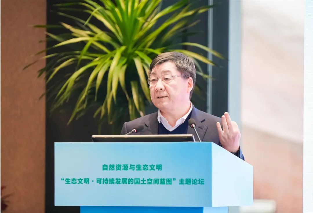
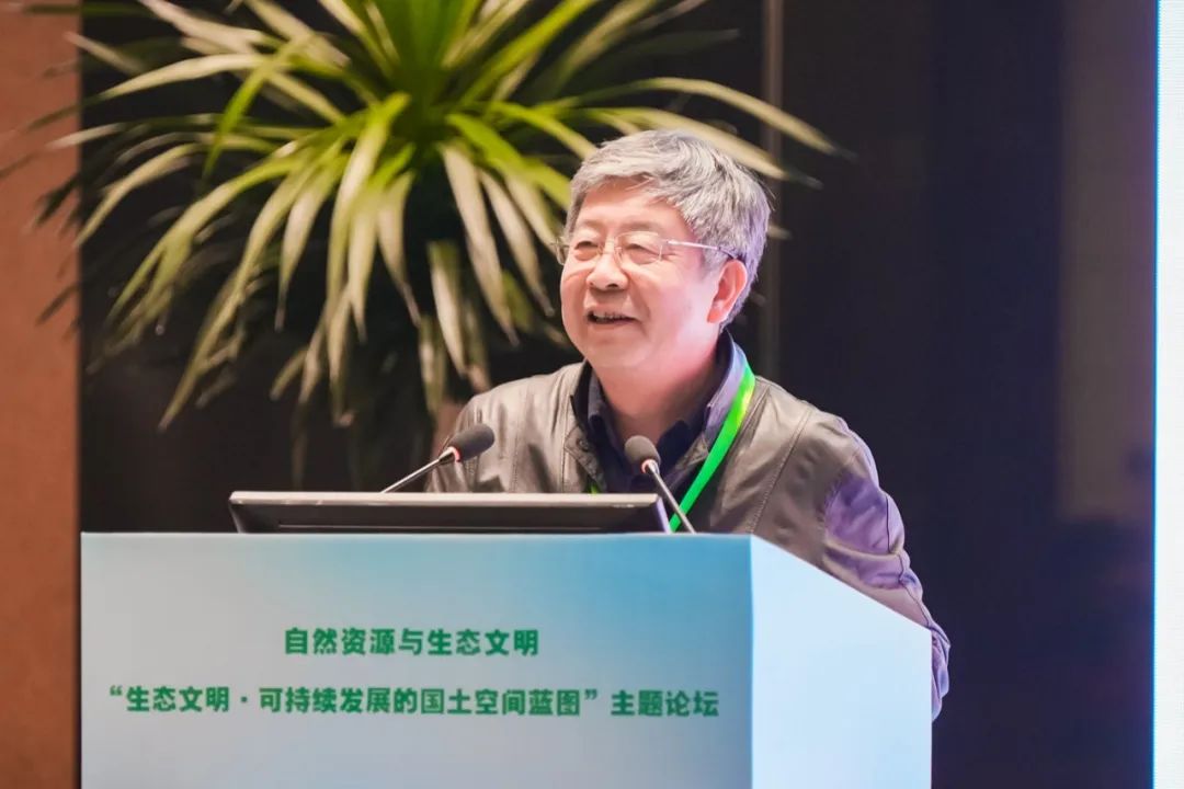
Chen Jun
Academician of the Chinese Academy of Engineering, professor of the National Basic Geographic Information Center of the Ministry of Natural Resources, and member of the Steering Committee of the Natural Resources Think Tank
The guarantee of natural resource elements and the guarantee of high-quality spatio-temporal information are two important starting points for natural resource work. At present, there are many surveying, mapping, survey, and monitoring businesses in the field of natural resources. However, problems such as fragmentation of information resources and difficulty in real-time data protection are prominent. It is still difficult to fully cover the three major sectors of natural resources, assets, and capital. It is urgent to improve the supply capacity of high-quality spatio-temporal information to form high-quality land and space information resources that are comprehensive, updated in a timely manner, and suitable for analysis. The digital development and application of land space is a huge information project of geographical space and natural resource information. All digital developments and applications should be coordinated in accordance with the idea of a "chess game" of land space.
Among them, the construction of real-life three-dimensional China is to digitize the three-dimensional structure and appearance of natural and humanistic phenomena in the multi-dimensional real world to form real-life three-dimensional information products and digital space. The overall technical architecture of Real 3D China is mainly composed of data product systems, digital intelligence technology systems, and service empowerment systems. It is supported by infrastructure and policies and regulations, and provides service applications for national digital development and natural resource management. It is a new generation of national basic geographic information systems and new spatio-temporal basic information facilities. We should accurately grasp the needs of the times, strengthen interdisciplinary and digital innovation, promote the deep integration of spatio-temporal information represented by real-life three-dimensional scenes with land and space planning and governance, build a land and space digital governance system, and make due contributions to the construction of a beautiful China and high-quality development.
Achieve precise implementation of the main functional area strategy
Fan Jie
Member of the Standing Committee of the 14th CPPCC National Committee, Director of the Academic Committee of the Institute of Science and Technology Strategy Consulting, Chinese Academy of Sciences
The main functional zone strategy is my country’s grand strategy for economic development and ecological environment protection. Based on the carrying capacity of resources and the environment, we should give full play to the comparative advantages of various regions in a "game of chess" and form a territorial space development and protection pattern with clear functions and an orderly structure. This concept is highly consistent with the connotation of coordinated regional development. Coordinated regional development emphasizes the connotation of balanced regional economic development and equal access to basic public services, providing a basis for the precise implementation of supporting policies in main functional areas.
Facing Chinese-style modernization, the main functional zone strategy must implement General Secretary Xi Jinping’s instructions on “supporting high-quality development with a high-quality ecological environment”, deepen the implementation of the main functional zone strategy, and strive to promote the coordinated development of regional urban and rural areas. ——Realize the comprehensive layout of main functional areas, promote the connection between the main functional area strategy and regional coordinated development strategies, major regional strategies, new urbanization strategies and other major strategies, and give full play to the basic role of main functional areas in building a new development pattern. ——Urbanized areas should cultivate new main functions of technological innovation and new productivity layout, enhance the comprehensive carrying capacity of urbanized areas to absorb the economy and population, reverse the trend of population agglomeration lagging behind economic agglomeration, form a synchronized agglomeration of economy and population, and achieve regional balance in agglomeration. ——Establish a multi-dimensional policy system such as government procurement, market transactions, ecological compensation, and social responsibility to realize the value of ecological products and the value-added of agricultural products, create hematopoietic functions in key ecological functional areas and main agricultural product production areas, and drive the economic development of underdeveloped areas. ——Based on the original three categories of main function classification, by focusing on the layout of green energy production bases, strategic mineral resource exploration, development and protection bases, large tourism and modern biological industry production bases, cultivate new composite functions, realize the conversion of resource advantages into economic advantages, and practice the concept that clear waters and lush mountains are valuable assets.
Accelerate the establishment of a natural protected area system
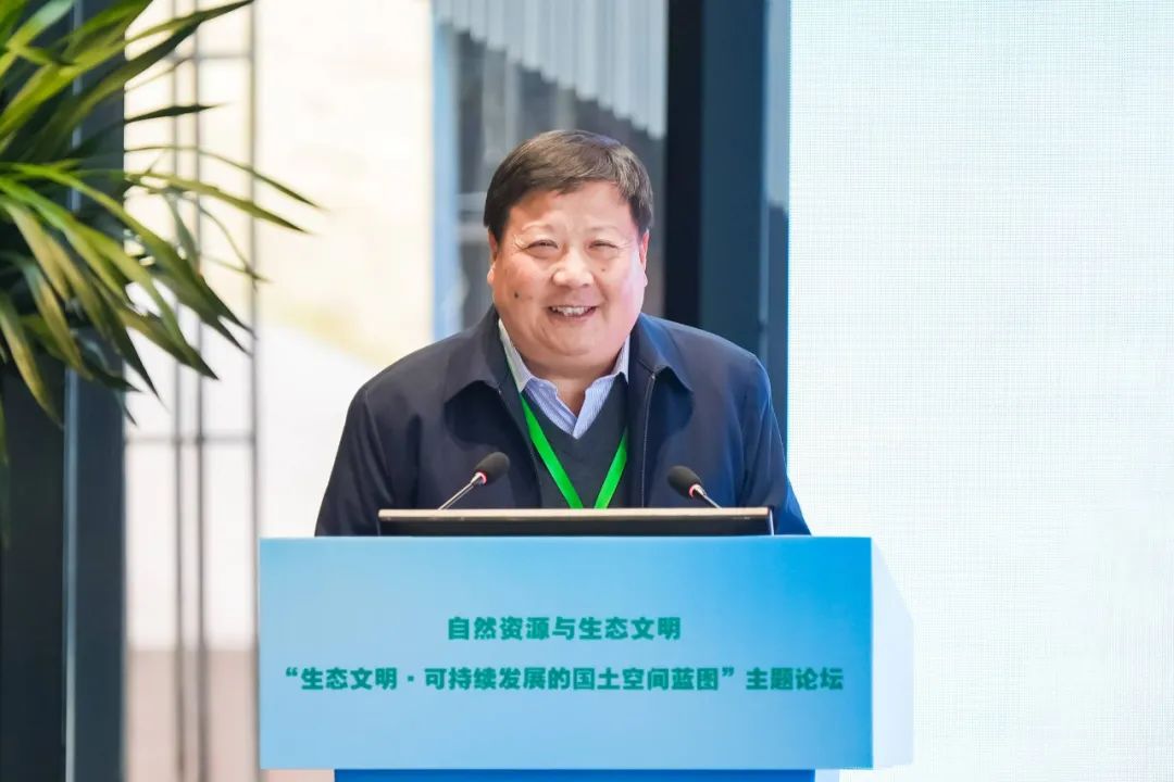
Tang Xiaoping
President of the National Park Research Institute and professor-level senior engineer
Building a beautiful China is an important goal of comprehensively building a modern socialist country. As a precious asset of the Chinese nation and an important symbol of beautiful China, nature reserves play a key role in building a modernization in which man and nature coexist harmoniously. After nearly 70 years of efforts, my country has established a large number of nature reserves at all levels and with diverse functions. However, there are still problems such as overlapping settings, multiple management, unclear boundaries, unclear rights and responsibilities, and prominent conflicts between protection and development.
Nature reserves are land or sea areas demarcated or confirmed by the government in accordance with the law to implement long-term protection of important natural ecosystems, natural relics, natural landscapes and the natural resources, ecological functions and cultural values they carry. Protecting nature, serving the people, and sustainable development are the three major concepts of nature reserves. In the new stage of comprehensively building a beautiful China, we should innovate the management system and mechanism of natural protected areas in accordance with the concept that mountains, rivers, forests, farmlands, lakes and grass are a community of life, implement the unified setting, classified protection, hierarchical management, and zoning control of natural protected areas, incorporate important national representative natural ecosystems into the national park system, prioritize the layout and construction of national parks, and steadily promote the integration and optimization of natural protected areas. , gradually plan to incorporate key areas of natural protection with unprotected areas into the protected area system, focus on ecological protection and restoration systems, coordinate protection and green development, and support capabilities, and accelerate the establishment of a natural protected area system with scientific classification, reasonable layout, strong protection, and effective management, with national parks as the main body, to provide ecological support for building a beautiful China and realizing the sustainable development of the Chinese nation.
Improve China’s unique humanistic and natural ecosystem
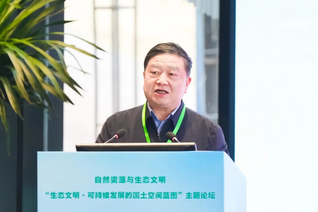
Wang Xiangrong
Professor, School of Landscape Architecture, Beijing Forestry University
The Chinese began to build various water conservancy facilities very early, striving to transform the natural water environment, control natural hydrology, provide irrigation water for agricultural production, and facilitate transportation between different regions. As a result, a large-scale water system network that combines artificial and natural elements was gradually formed on the country. This water network supports agricultural production and ensures that China can support a large population even though the geographical and natural conditions are not superior and the cultivated land is limited. This water network is also a support system for the environment, reducing the pressure of water damage and weakening the intensity of water damage, making the country more resilient.
The experience of sorting out the land accumulated by the Chinese in their farming civilization is also the basic principle for urban space construction. The agricultural production support system is actually the urban environmental support system. This system shapes the spatial structure and landscape characteristics of Chinese cities, reflecting the history of the region and the relationship between artificial construction and nature in the past years. The humanistic natural ecosystem refers to the influence and transformation of nature by humans in order to produce and live needs, forming an ecosystem that not only satisfies humans' reasonable survival style but also ensures the sustainability of the natural ecology and the mutual adaptation of human influence and natural processes. For thousands of years, the industrious and simple Chinese people have continuously sorted out the land, reshaped the national landscape, and formed China's unique humanistic and natural ecological system, which supports the production, life and ecological security of the land. Today, facing the reality that the scope of man-made construction is getting wider and wider, and the impact and intervention on nature are getting stronger and stronger. When the function of the environmental support system has been weakened or even disappeared, China needs to establish a flexible and sustainable environmental support system to coordinate the balanced relationship between man-made and nature, maintain the security of the land and cities, and at the same time transform this system into a humanistic and poetic landscape.
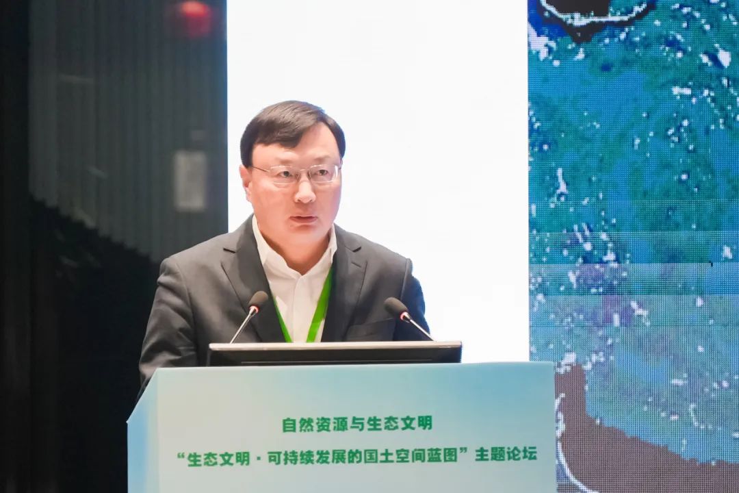
Improve the land use control system
Zhao Yufang
Director, Department of Land and Space Use Control, Ministry of Natural Resources
After 10 years of hard work, land space use control has achieved a historic breakthrough from scratch, from land to space, and a full-area, all-factor, and full-process use control system covering cities, agriculture, and ecological space has initially taken shape. We believe that from the three dimensions of implementing the concept of a community of life, promoting the green transformation of comprehensive economic and social development, and promoting the construction of a beautiful China, the unified implementation of land and space use control is an important means, path and starting point for implementing the construction of ecological civilization. Use control must further identify its positioning and conscientiously perform its duties.
In the past 10 years, we have explored ecological space use control pilots and expanded use control to all land spaces to provide a practical basis for delineating national ecological protection red lines and formulating control rules; we have carried out pilot projects for land space use control and correction mechanisms in the Yangtze River Economic Belt to strengthen the protection of the Yangtze River coastline; we have carried out use control in the core supervision area of the Grand Canal to strengthen the protection of the natural ecological environment and traditional historical features. We have improved the operating system, established a technical system, and innovated the supervision system, and the usage control framework system and control rules have continued to improve. In the past 10 years, we have implemented a "linkage between deposit increase" in cities and a "linkage between increase and decrease" in rural areas. We have explored the conservation and intensive use of land throughout the entire process of infrastructure construction, and promoted green and low-carbon development by promoting the transformation of land use patterns. In the past 10 years, we have reformed land use planning methods and land use approval systems, successively introduced policies to safeguard natural resource elements, and formulated a number of urban and rural use control policies to strengthen the protection of natural resource elements and provide services to support high-quality development. Facing the future, land space use control needs to further deepen theoretical research in terms of basic theories, standards and practices, and policy practices. It needs to further improve the system in terms of legal systems, operational systems, and supervision systems. It needs to further innovate the application of use control technology and accelerate digital transformation.
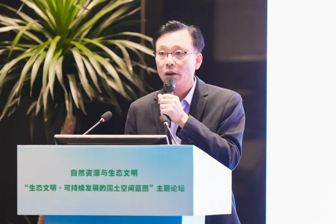
Land and spatial planning supports high-quality regional development
Xu Jian
Deputy Director of Shanghai Municipal Planning and Natural Resources Bureau
The construction of the Yangtze River Delta ecological green integrated development demonstration zone is the first step and breakthrough for the implementation of the Yangtze River Delta integrated development strategy. Under the care and guidance of the Ministry of Natural Resources, and with the joint efforts of Shanghai, Jiangsu and Zhejiang provinces and one city, the "Yangtze River Delta Ecological Green Integrated Development Demonstration Zone Land Space Master Plan (2021-2025)" (hereinafter referred to as the "Demonstration Zone Master Plan") was approved by the State Council in February 2023. This is the first domestic territorial spatial plan to be jointly prepared across provinces and submitted to the State Council for approval. It is the first domestic territorial spatial plan to be officially approved by the State Council after the Party Central Committee and the State Council promulgated and implemented the "Several Opinions on Establishing a Territorial Spatial Planning System and Supervising the Implementation" and issued the "National Territorial Spatial Planning Outline (2021-2035)". It is also the first domestic territorial spatial plan to be approved and implemented by the State Council since the 20th National Congress of the Communist Party of China. The planning of the demonstration area fully implements the national strategy, which reflects the leadership; implements the new concept of ecological green, reflects the integration; strengthens the quality of human settlements first, reflects the demonstration; establishes a new mechanism for cross-border space governance, reflects the implementability; builds a new cultural space in the south of the Yangtze River, reflects the diversity; implements the "open door planning" requirement, reflects the synergy. A "blueprint" for the land and space of the demonstration area has been drawn. Under the guidance of the Ministry of Natural Resources and other national ministries and commissions, Shanghai, Jiangsu and Zhejiang will vigorously promote the planning and construction of the demonstration area by relying on the working platform of the Board of Directors and the Executive Committee, and transform the beautiful blueprint depicted in the demonstration area's master plan into "construction drawings" and "real-life paintings" as soon as possible. In the near future, the main focus is on the "1+3" centralized demonstration, that is, the joint construction of a water town living room within a 35-square-kilometer area at the junction of two provinces and one city, and the construction of three demonstration areas including Qingpu Xicen Science and Technology Innovation Center, Wujiang High-speed Railway Science and Technology Innovation City, and Jiashan Area Xiangfudang Innovation Center.
Zhejiang’s path to digitally empowered land and spatial planning implementation
Gu Hao
First-level inspector of Zhejiang Provincial Department of Natural Resources
The land space governance system is an important part of the national governance system. In recent years, Zhejiang Province has taken advantage of digitalization and taken the lead in building a provincial model for overall intelligent governance of land and space. It has explored a "one body and two wings" Zhejiang path that takes the land and space planning system as the main body, comprehensive regional improvement as the planning implementation path, and is supported by the provincial space governance digital platform to release more output and better protect people's lives.
The first is to use digital thinking to build a core business logic of "spatial planning as the guide, space protection as the premise, space utilization as the focus, and space security as the guarantee", and through "space digitization, digital visualization, intelligent governance, and collaborative network" to achieve "accurate analysis, overall optimization, legal protection, efficient utilization, and scientific governance" of space resources. The Zhejiang Provincial Spatial Governance Digital Platform can provide comprehensive, authoritative, and accurate "base maps, base numbers, and bottom lines" and intelligent tools for more than 340 applications in the province, and has provided a total of 1,200 spatial data services and 295 spatial computing analysis component interfaces.
The second is to use digital concepts to create a space base that integrates multi-level and multi-scale, coordinates all elements of the entire domain, and runs through the entire cycle to form a chain of land management business and comprehensively enhance the digital capabilities of provincial space management.
The third is to use digital methods to explore the entire process management model of "project planning, project approval, implementation management, completion acceptance, and post-management and maintenance" to lay the foundation for the orderly advancement of comprehensive land remediation work across the region.
Zhejiang Province will adhere to digital empowerment, identify the direction and goals of spatial governance, and provide support for striving to write a chapter of Chinese-style modernization in Zhejiang.
Planning leads and promotes the construction of “three major projects”
Ding Qiang
Deputy Director of Shenzhen Municipal Planning and Natural Resources Bureau, Guangdong Province
Increasing the construction and supply of affordable housing, actively promoting the transformation of urban villages and the construction of "both leisure and emergency" public infrastructure are major measures taken by the Party Central Committee and the State Council to protect and improve people's livelihood, expand domestic demand and effective investment, and promote high-quality urban development. Based on the "two unifications" responsibilities of the natural resources department, Shenzhen deepens the "multi-plan integration" reform, gives full play to the role of territorial spatial planning in resource allocation, asset management, and urban governance. With the overall territorial spatial planning as the guide and the redevelopment of existing inefficient land as the main path, Shenzhen promotes the construction of the "three major projects" and strives to build a livable, resilient, and smart city.
The first is to effectively implement the requirements for redevelopment of existing low-efficiency land and increase residential space, promote the integration of urban village reconstruction and urban development, implement urban village reconstruction through demolition, new construction and renovation and upgrading (including demolition and integration), reasonably disperse the population, strengthen the main responsibility of the government, improve the policy "tool box", establish a long-term mechanism, and promote the improvement of space quality and efficiency.
The second is to systematically build the city's emergency evacuation and rescue space system, strengthen demand forecasting and resource integration, coordinate the layout of "both emergency and emergency" infrastructure, strengthen policy guidance and project coordination, give full play to the role of market mechanisms, and explore new construction and operation models.
The third is to address Shenzhen’s current major housing problems, strengthen land spatial planning guidance, clarify the scale of residential space guarantees, optimize the housing supply structure, increase per capita housing area, and formulate goals such as short-term residential land supply, reasonably guide the construction layout of affordable housing, and broaden supply channels in many aspects.
Promote detailed planning reform and innovation with a problem-oriented approach
Ye Bin
Deputy Secretary-General of the Standing Committee of Nanjing Municipal People's Congress, Jiangsu Province
The regulatory detailed planning system established after the 1990s, as well as the original land use planning and related use control systems, played an important role in the stage of rapid urbanization. However, based on the requirements of the times to reform the territorial spatial planning system and improve governance capabilities and levels, the original system is in urgent need of transformation and improvement. The "Notice of the Ministry of Natural Resources on Strengthening the Detailed Planning of Territory Space" provides guidance for the recent national detailed planning work. However, from the perspective of further adapting to the requirements of high-quality development and improving governance capabilities and levels, it is also necessary to continue to reform and innovate in a problem-oriented manner and improve the detailed planning system.
From the perspective of local practice, we try to analyze the definition of detailed planning, the relationship between detailed planning in the natural resource management business chain and other related businesses, the status and role of detailed planning in spatial planning management, the constraints on detailed planning preparation, and the content and achievements of detailed planning as a public policy and social contract. It explains and analyzes 11 aspects including the effect form, detailed planning execution rules, the relationship between detailed planning and urban design, how to incorporate the national land space into "one picture", how to dynamically maintain the detailed planning results database, special cases of detailed planning execution rules to adapt to urban renewal requirements, and detailed planning in rural areas.
It is recommended that a more systematic perspective and a more comprehensive approach be adopted to comprehensively consider the dual attributes of detailed planning as a public policy and technical tool, implement detailed planning coverage of urban and rural areas (or dynamic coverage during implementation), establish a control model that combines plan management and system management, explore system reforms with an open attitude, improve the detailed planning preparation and implementation system, and realize the transformation and reinvention of detailed planning.